Article
Mount Everest is ~250 meters taller than it has any business being — and a river that hijacked another river 89,000 years ago is still lifting it
Mount Everest is about 250 meters taller than every peak around it — and as much as 50 of those meters were added by a river that stole another river's water 89,000 years ago.
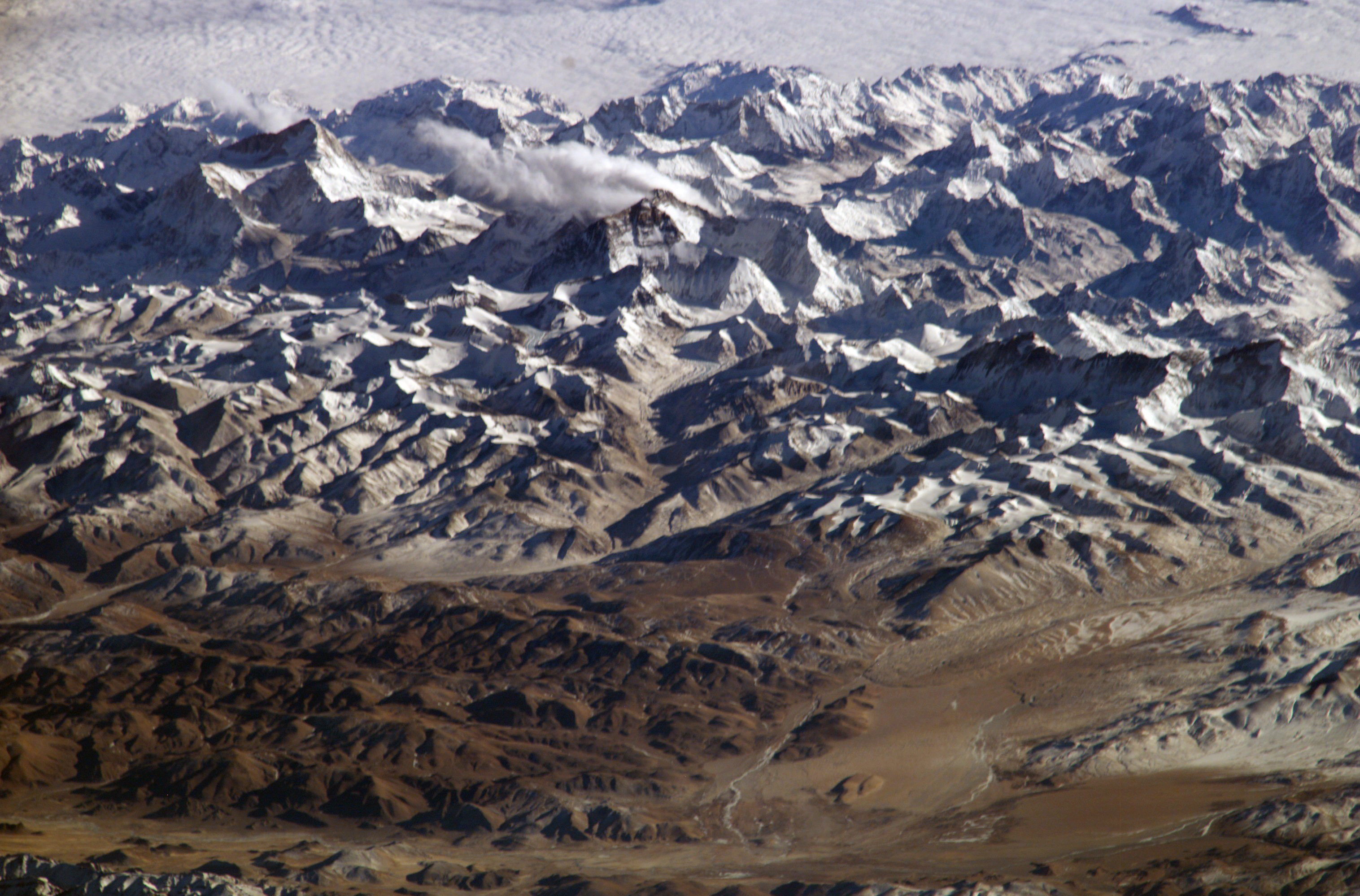
The Himalaya are built by the slowest, most powerful machine on Earth: India, a drifting continent, is still plowing into Asia at a few centimeters a year, crumpling the crust upward. Geologists understand this. What they haven't fully explained is why one mountain — Everest, known as Chomolungma in Tibetan and Sagarmāthā in Nepali, 8,849 meters tall — towers so far above its own neighbors.
Look at the numbers. The next three tallest peaks on Earth — K2, Kangchenjunga and Lhotse — sit within roughly 120 meters of one another. Everest stands about 250 meters above the next-highest. That's not "the tallest mountain"; that's "the tallest mountain by an anomalously wide margin," a spike in an otherwise smooth line of descending peak heights.
For decades the extra height was assumed to be a local quirk of tectonics. Then, in September 2024, a team from UCL and the China University of Geosciences published a different answer in Nature Geoscience: 15–50 meters of Everest's anomalous elevation was added by a river.
The mechanism is a heist story in slow motion. About 89,000 years ago, the Arun River — which today runs east of Everest along a high, flat valley — abruptly merged with the bigger Kosi River network downstream, a process geologists call drainage piracy: one river system captured another's water. The Kosi suddenly carried far more flow, which meant far more erosive power. The river began carving a deep gorge and washing billions of tonnes of rock and sediment away — unloading a huge amount of mass from the crust directly beneath the region's highest peaks.
And here is the counterintuitive part: removing weight made the mountain taller. The crust "floats" on the dense, hot mantle below it, like a ship in water. When the Arun-Kosi stripped away landmass, the crust became lighter and bobbed upward — isostatic rebound. A few millimeters a year sounds like nothing, but the rebound has run for 89,000 years. GPS instruments show Everest is still rising by about 2 millimeters a year because of it — and has already gained 15–50 meters it would not otherwise have.
Ordinary intuition says rivers wear mountains down. Here a river made one taller.
The effect isn't confined to Everest. The rebound lifts the whole region, boosting Lhotse (4th-highest) and Makalu (5th-highest) by similar amounts — Makalu, sitting closest to the Arun gorge, by slightly more. Co-author Adam Smith (UCL): "Mount Everest is a remarkable mountain of myth and legend and it's still growing." Lead author Dr. Xu Han (China University of Geosciences): "The changing height of Mount Everest really highlights the dynamic nature of the Earth's surface."
The fitting twist: the tallest mountain on Earth is partly tall because of erosion, not in spite of it. A river hijacked another river, carved a canyon, unloaded the crust — and the whole mountain range floated a little higher. Everest's famous height is not a finished fact. It's a live event, still in progress, measured in millimeters per year and powered by water.
Sources:
- Xu Han, Jin-Gen Dai, Adam G. G. Smith, Shi-Ying Xu, Bo-Rong Liu, Cheng-Shan Wang & Matthew Fox, "Recent uplift of Chomolungma enhanced by river drainage piracy," Nature Geoscience 17, 1031–1037 (2024), open access: https://www.nature.com/articles/s41561-024-01535-w
- University College London via ScienceDaily, "A river is pushing up Mount Everest's peak" (30 September 2024): https://www.sciencedaily.com/releases/2024/09/240930122712.htm
- Wikipedia, "Mount Everest": https://en.wikipedia.org/wiki/Mount_Everest